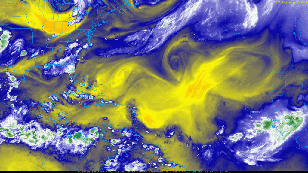
The water vapor imagery map here shows a few features. First, there are two systems of high pressure in place: one over the eastern Atlantic west of Morocco and Western Sahara, and another over the western Atlantic east of the Outer Banks of North Carolina. Between those two highs is a low pressure system in the central part of the North Atlantic. A tropical wave is seen moving off the coast of western Africa.
The tropics will probably be pretty quiet for the next week. The storms associated with the tropical wave are not likely to develop over the next week, and no other systems in the Atlantic will likely develop, either.
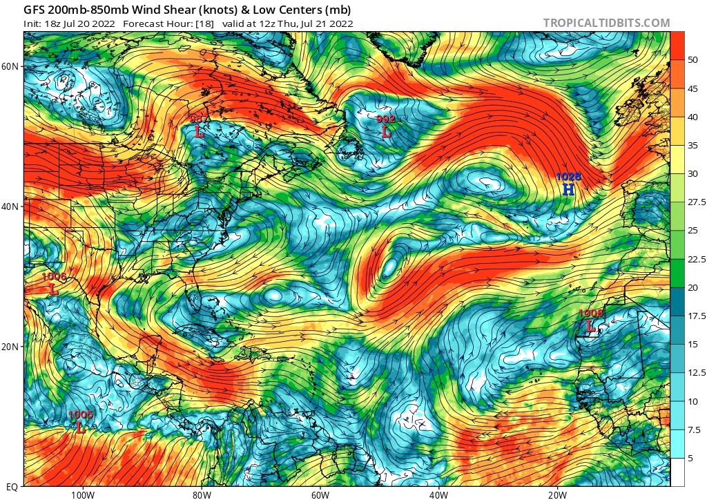
One reason for this is the high shear in the Caribbean that is in place. This will prevent systems from developing in that region. The shear should be in place for a few days before it becomes more favorable for development. Although the shear may weaken in a few days, there’s still a bigger problem for development, and that’s the low humidity.

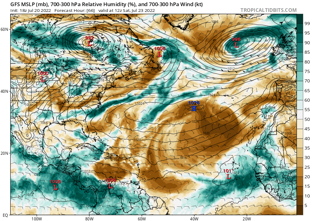
For much of the upcoming week, the Atlantic and Caribbean will see very dry air. This is partly due to Saharan dust blowing into the Atlantic and drying out the atmosphere. As the tropical wave moves westward, it will essentially encounter nothing but dry air for the next week. This will inhibit potential for development, since tropical storms and hurricanes feed off of moisture.

So as for right now, not much is expected in the tropics for the next week. The tropics tend to be most active in August, September, and October.

