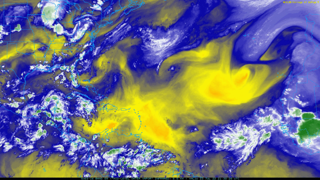
As we look at the water vapor imagery map above, there are a couple features that are worth noting. There are low pressure systems in the Gulf of Mexico, off the coast of Georgia, and off the coast of Western Sahara. Meanwhile, there are high pressure systems located north and east of Bermuda. There is a tropical wave moving further west into the Atlantic off the west coast of Africa and another tropical wave currently over west Africa which should move into the Atlantic over the next few days. There is also a cluster of thunderstorms around Mexico’s Yucatan Peninsula.
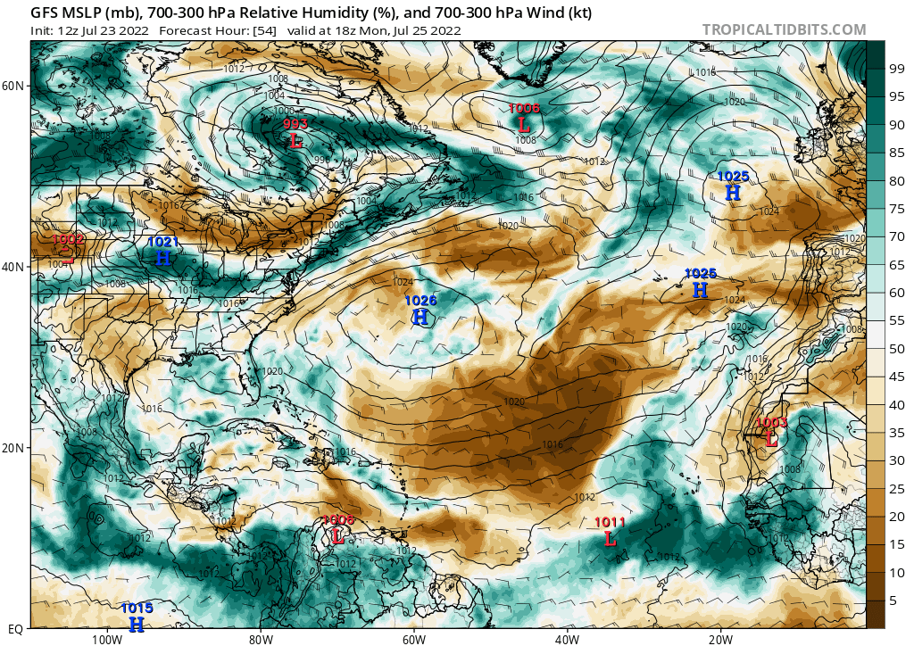
Although there is activity going on in the mid Atlantic and around Mexico, no tropical cyclones are expected to develop over the next week or so. The main issue, at least for the mid-Atlantic, continues to be moisture. As you can see from the map below, a large area of dry air is out ahead of the tropical wave in the Atlantic. This will continue to inhibit development.

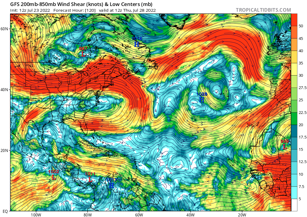
Towards the later part of the forecast period, a bit more moisture returns to the Caribbean, but the wind shear is still fairly strong there. The map below shows moderate to high wind shear in the Caribbean throughout the next week, which will stall any tropical activity there.

Based on these factors, the National Hurricane Center has not issued any advisories for the next 5 days. Tropical activity is not expected during this time.

