If you want to look at what Hurricane Beryl is looking like, Nick has an outlook here.
For the next several days, the stationary front that has been putting the oppressive humidity over us will give us a few more days of showers and thunderstorms. The front will dissipate by Wednesday giving us a brief dry spell before we return to our old faithful afternoon (diurnal) thunderstorms for a couple of days.
Starting off this week, the cold front will hover around central Mississippi and move south over the next couple of days. Dew points will stay around the 70s which will leave us very muggy and extremely hot. During the day, heat indices will hover around the mid-100s up to 110, so be sure to have water and electrolyte-related food on you if you’re outside working. The humidity won’t leave us for the next few days afterwards as the cold front won’t move very fast. Rain chances will be fairly prevalent until Thursday.
The cold front will finally be out of our hair, but we’ll only have a day of sub 70s dew points on Thursday before we go back to our typical afternoon thunderstorm pattern. This will continue on into Friday with some possible sea breeze thunderstorms to push in from the Gulf.
Saturday and Sunday will have another weak cold front develop from the upper plains which will give us some possible MCS type thunderstorm lines from the northwest. These look to move in during the afternoon and evening each day. This also looks to be a fairly slow moving system, and while this is pretty far out, we may expect some more storms to develop with this front a few days afterwards.
So far, Independence Day looks to have some possible thunderstorms come from the south in the afternoon, so if you’re out grilling, be sure to do it in the morning so the grill won’t burn out and the food won’t get soggy. Hopefully these storms will be fairly isolated in nature so we won’t have too much to worry about.
Have a good week!
Regional Day-to-Day Forecast
This Afternoon – Showers and possibly a thunderstorm. High in the low 90s. Heat index values as high as 106. West wind around 5 mph. New rainfall amounts between a tenth and quarter of an inch, except higher amounts possible in thunderstorms.
Tonight – A chance of showers and thunderstorms before sunset. Partly cloudy, with a low in the mid 70s. Calm wind.
Monday – A slight chance of showers after noon. Sunny, with a high in the mid 90s. Heat index values as high as 110. Calm wind becoming north northeast around 5 mph in the morning.
Monday Night – Mostly clear, with a low in the low 70s. North northeast wind around 5 mph becoming calm.
Tuesday – A moderate chance of showers and thunderstorms in the afternoon. Sunny and hot, with a high in the upper 90s. Calm wind becoming southeast around 5 mph in the afternoon. New rainfall amounts of less than a tenth of an inch, except higher amounts possible in thunderstorms.
Tuesday Night – Scattered showers and thunderstorms before sunset. Partly cloudy, with a low in the mid 70s. Southeast wind around 5 mph becoming calm in the evening.
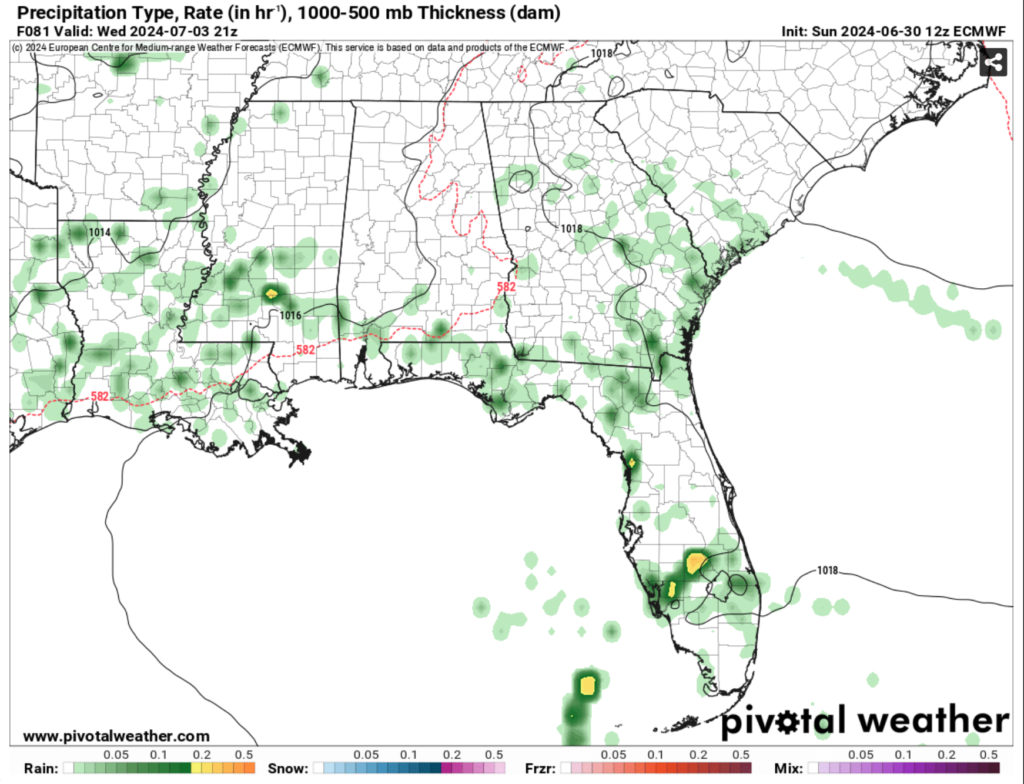
Wednesday – A slight chance of showers before noon, then isolated showers and thunderstorms between noon and 1pm, then showers likely and possibly a thunderstorm after 1pm. Mostly sunny, with a high in the low to mid 90s. Calm wind becoming south southeast around 5 mph in the afternoon.
Wednesday Night – Mostly clear, with a low in the mid 70s. South wind around 5 mph becoming calm.
Independence Day – Scattered showers and thunderstorms in the afternoon. Sunny, with a high in the low to mid 90s. Calm wind becoming south southwest around 5 mph.
Thursday Night – Mostly clear, with a low in the mid 70s.
Friday – Scattered showers and thunderstorms. Sunny, with a high in the mid 90s.
Friday Night – Mostly clear, with a low in the mid 70s.
Saturday – Scattered showers and thunderstorms. Mostly sunny, with a high in the mid 90s.


