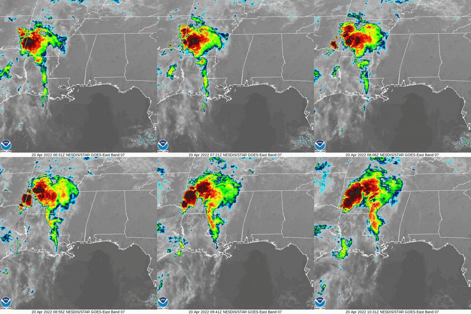
This morning a few showers and storms are passing through to the north, but for this area just some extra clouds today and patchy fog this morning.

Aside from that, the weather is looking pretty good. If you are (un)lucky enough this morning you my catch some light mist closer to Jackson, but aside from that the forecast calls for continued quiet weather through the weekend.
Next week may be a different story.


The good news is that the threat for severe weather, at this time, looks rather low. But given there will be cold front nearby, the chance isn’t zero. Worth watching for the next few days, but not anything worth losing sleep over.
Day to Day Forecast
Today
Mostly cloudy. Highs in the upper 70s. .
Tonight
Mostly cloudy. Not as cool with lows in the upper 50s.
Thursday
Mostly sunny. Highs in the lower 80s.
Thursday Night
Mostly clear. Lows in the upper 50s.
Friday
Sunny. Highs in the mid 80s.
Friday Night
Clear. Lows in the upper 50s.
Saturday
Sunny. Highs in the mid 80s.
Saturday Night
Mostly clear in the evening, then becoming mostly cloudy. Lows in the lower 60s.
Sunday
Mostly sunny. Highs in the mid 80s.
Sunday Night
Mostly clear in the evening, then becoming mostly cloudy. Lows in the mid 60s.
Monday
Partly sunny. Storms possible in the afternoon and evening. Highs in the upper 80s. Chance of rain 40 percent.
Monday Night
Mostly cloudy with storms ending by midnight. Lows in the lower 60s. Chance of rain 40 percent.
Tuesday
Mostly sunny. Highs in the lower 80s.

