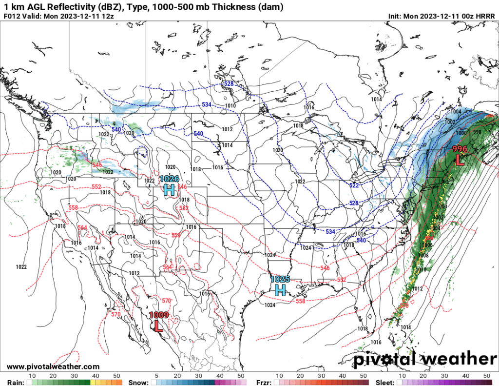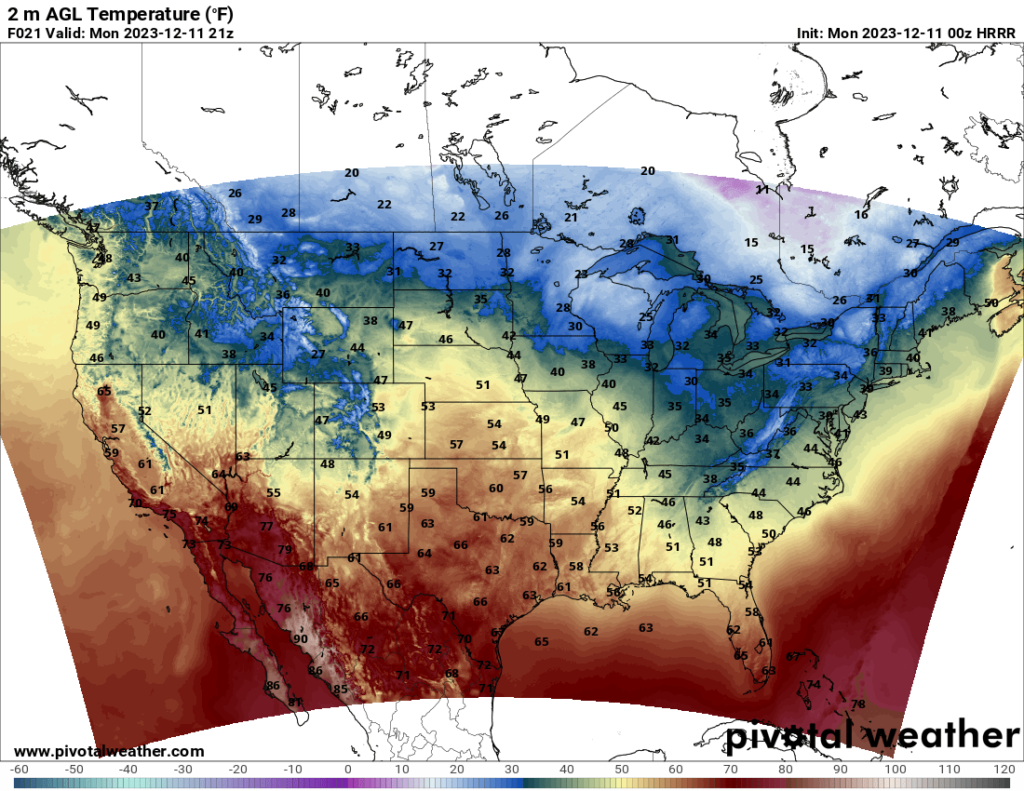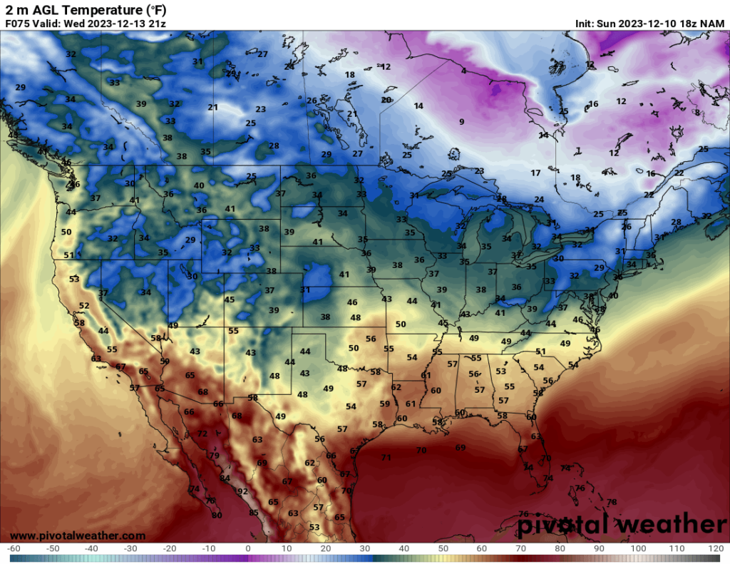
Heading into the work week, the cold front and associated trough that produced the severe weather outbreak on Saturday (which hit further east than initially expected, hence why you should stay up to date on your local forecasts) should move off the coast tonight. The rain (and snow in the northerly areas) that is currently ongoing throughout the East Coast should move offshore tonight into early Monday, leaving chilly to cold temperatures in their wake.


Aside from that, there aren’t any real notable weather events expected to occur over the next few days. A few spotty rain or snow showers are possible early in the week in the Northwest, and the southern High Plains are forecast to get somewhat widespread precipitation Wednesday and Thursday, but overall, the start of the week is shaping up to be quiet, weather-wise.

