Happy Saturday, I think. We’ve got a few things happening in the Weather Department that may catch your attention this morning.


From heat today (left), to a short-term pattern shift (middle) to the tropics becoming more active (right), there is plenty to talk about.
And boy, let me tell you, my interns have opinions! And a full look at the forecast, too…
Zone Specific Forecast
The Interns did another great job putting together forecasts for everyone. Read about your area t the link below, or read them all!
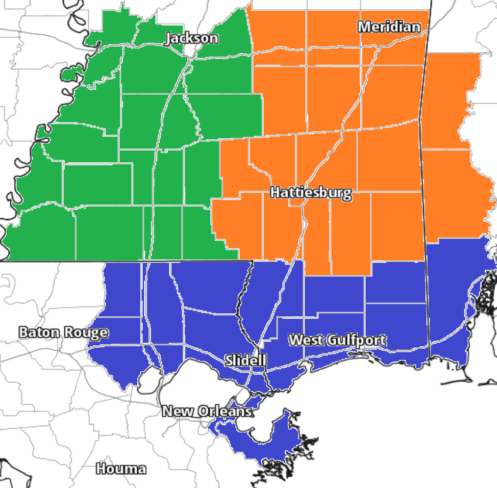
Team Green (southwest Mississippi counties) on the left
Team Orange (southeast Mississippi counties and southwest Alabama counties) in the middle
Team Blue (southeast Louisiana parishes and coastal Mississippi / Alabama) on the right
A Brief Tropical Note
The NHC is now monitoring a new area ‘close to home’ but it looks like this may be a “Barry” type situation that I’ve been monitoring the last week. A cluster of storms on the backside of this ridge of higher pressure sinks into the Gulf, gets organized and drifts inland over Louisiana or Texas.

As such, this is unlikely to be an issue for Mississippi and Alabama. And truly, unlikely to be an issue for southeastern Louisiana, either. Though, you SE Louisiana folks may see some extra rain from it.
But we will have more info about the tropics coming up a bit later this morning.


