Not much new to report from the heat. Still hot. Still humid.
But there is some relief in sight. It looks like the big ridge of high pressure that has been plopped over the region will finally ‘exit, stage east’ and reduce the amount of sinking air in the area. That won’t happen until early next week, but once it does, two things will happen: It will (1) reduce temps and (2) allow for more afternoon storms.

What this will also do is open the door for anything in the Tropics to have an open door to the northern Gulf. The nice thing about those big ridges of higher pressure is that it keeps anything in the Tropics out to sea.
And while that ridge is shifting east, the National Hurricane Center is now monitoring a wave off the coast of Africa.

Keep in mind, if anything is out there today, it is still – at least! – 10 days away from being near the NW Caribbean or Gulf. So there is plenty of tie to monitor things.
On top of that, the Caribbean this time of year is a rather hostile place for tropical waves to trying and hold their form.
Zone Specific Forecast
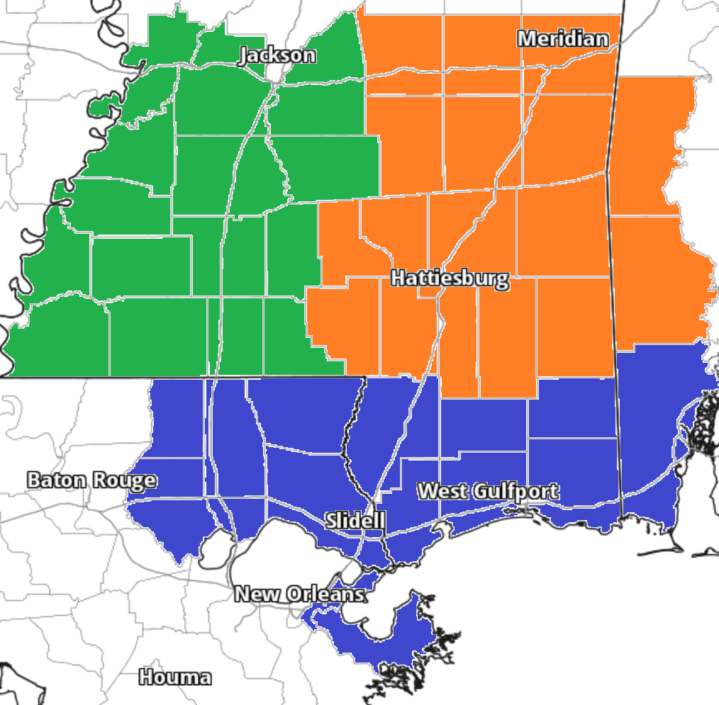
The Interns did another great job putting together forecasts for everyone. Read about your area t the link below, or read them all!
Team Green (southwest Mississippi counties) on the left
Team Orange (southeast Mississippi counties and southwest Alabama counties) in the middle
Team Blue (southeast Louisiana parishes and coastal Mississippi / Alabama) on the right
Day to Day Forecast
No general day to day forecast today! But a specific day to day forecast for your area is available from the interns at the links above!


The way your map looks, the high moves west, not east, or am I missing something?