The region has had a hot start to the week, with high temperatures above average for this time of year. That trend will begin to change today, with slightly cooler temperatures expected for the rest of the week. The chances of showers and thunderstorms are expected to increase as the weekend progresses for the region.
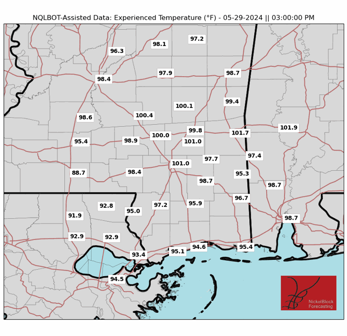
Looking at high temperatures, we will have one more day of hot weather, with most of the region seeing afternoon highs in the high 80s to low 90s. Areas along the coast should see cooler temperatures than those inland. Although the air temperatures are expected to be high, today’s heat index or feels like temperatures should be lower than previous days.

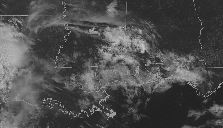
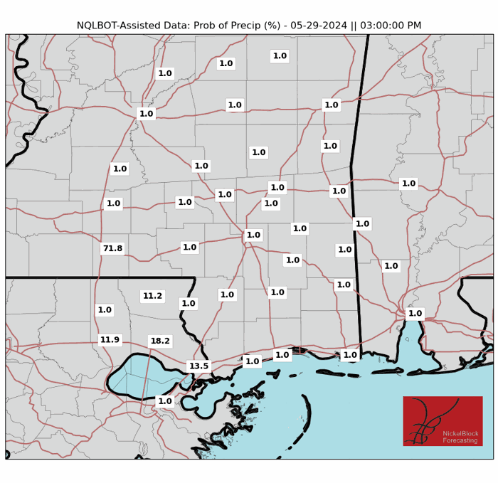
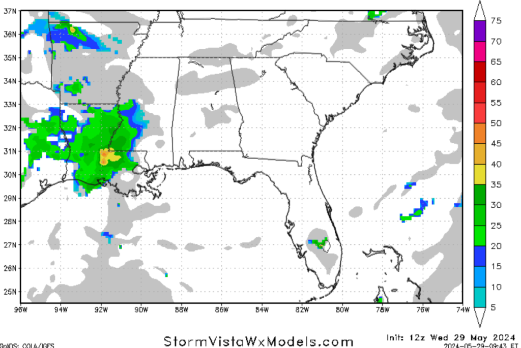
Unlike the last couple of days, the region should see scattered showers and thunderstorms, primarily in the afternoon and evening. A passing front will bring moisture from the Gulf, allowing storms to develop west of the region. Areas in western Louisiana and east Texas west of the forecast region can expect a couple of severe storms, with a marginal risk or level 1 out of 5 of severe weather. As for our forecast region, no severe weather is expected.
The timing of these storms has been difficult to forecast, with some models showing storms in the afternoon and others in the evening. Regardless of when the storms arrive in the region, I am expecting the chances of seeing storms from this afternoon to about midnight local time. Although these storms are not expected to be severe, remember that lightning is associated with thunderstorms and can be dangerous to anyone outside.
Looking into the future, the trend of slightly cooler weather and scattered thunderstorms is expected to continue through this weekend. High temperatures on Friday are expected to hover around the mid to high 80s, with a few areas possibly touching 90 degrees. Due to a passing cold front, the chances of showers and thunderstorms are expected to be moderate, with a marginal risk of severe weather expected on Friday. The weekend will bring the chances for scattered thunderstorms for the region, primarily in the afternoon, with afternoon highs expected to be in the mid-80s. If you have any outdoor plans this weekend, make sure to pack an umbrella and keep an eye on the weather radar for showers and storms.
REGIONAL DAY TO DAY FORECAST
Today
- Day: Partly sunny with a high near 90°F. Winds southeast a 5-10 mph. There is a 30% chance of showers and thunderstorms after 1 p.m.
- Night: Mostly cloudy with a 40% chance of showers and thunderstorms. Low around 72°F, with winds south at around 5 mph.
Thursday
- Day: Mostly sunny with a high near 90°F. A 30% chance of showers and thunderstorms after 1 pm. Winds southeast at 5-10 mph
- Night: Partly cloudy with a 20% chance of rain. Low around 72°F.
Friday
- Day: Partly sunny with a high near 89°F. A 30% chance of showers and thunderstorms after 1 pm. A few storms may be severe. Winds southeast at 5-10mph
- Night: Mostly cloudy with a low of around 70°F. Winds southeast at 5-10 mph. There is a 30% chance of showers and thunderstorms before 1 am.
Saturday
- Day: Partly sunny with a high near 85°F. A 50% chance of showers and thunderstorms after 1 pm. Winds from the south at 5-10 mph
- Night: Mostly cloudy with a low of around 65°F. Winds southeast at 5-10 mph. there is a 30% chance of showers and thunderstorms before 1 am.
Sunday
- Day: Partly sunny with a high near 85°F. A 60% chance of showers and thunderstorms. Winds south at 5-10 mph.
- Night: Mostly cloudy with a low of around 68°F. Winds south at 5 mph. There is a 20% chance of showers and thunderstorms before 1 am.
Monday
- Day: Mostly sunny with a high near 88°F. A 20% chance of showers and thunderstorms. Winds southeast at 5-10 mph
- Night: Mostly cloudy with a low of around 75°F. Winds south at 5-10 mph. There is a 10% chance of showers and thunderstorms.


