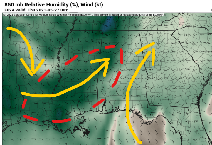
It looks like that ridge of high pressure responsible for the nice weather over the last few days is showing signs of falling apart.
This morning’s data from the HRRR model, a short-range and high-resolution model, shows a few showers and storms trying to break out in the starting-to-get-more-humid environment.

Beyond that, we will hold on to a chance for afternoon showers or storms through Saturday. Not really a ‘good’ chance for rain today, tomorrow or Friday. But by Saturday that does look to change.
But don’t cancel any weekend plans. just keep an eye on the forecast and an eye to the sky.
Day-by-Day Forecast
Today
Passing clouds with a 10-percent chance you see an afternoon storm. Highs in the upper 80s.
Tonight
Any threat for rain ends by 10pm. Then partly cloudy with lows in the upper 60s.
Thursday
Mostly sunny with a 10-percent chance for an afternoon shower or storm. Highs around 90.
Thursday Night
Mostly clear. Lows in the upper 60s.
Friday
Another mostly sunny day with a 20-percent chance of showers and thunderstorms. Highs in the upper 80s. Southwest winds 5 to 10 mph.
Friday Night
The chance for rain ends by midnight, then partly cloudy. Lows in the upper 60s.
Saturday
Mostly cloudy with a 50-percent chance for storms. Highs in the mid 80s. Severe weather isn’t anticipated at this time, but strong storms look possible with heavy rain, gusty wind, and the chance to see some small hail. The tornado threat is very, very, very low.
Saturday Night
Partly cloudy. Lows in the lower 60s.
Sunday
Sunny. Highs in the mid 80s.
Sunday Night
Mostly clear. Lows in the lower 60s.
Memorial Day
Mostly sunny. Highs in the upper 80s.
Monday Night
Partly cloudy. Lows in the mid 60s.
Tuesday
A 20-percent chance of showers in the afternoon. Partly cloudy. Highs in the upper 80s.

