It is the first day of Interns for the summer. That means a more specific forecast for your specific area starts today, too! That also means, to celebrate, this week I am going to let them handle the forecast and I’m going to kick my feet up on the desk and relax!
Okay, well maybe not. I’ve never been one to relax too much.
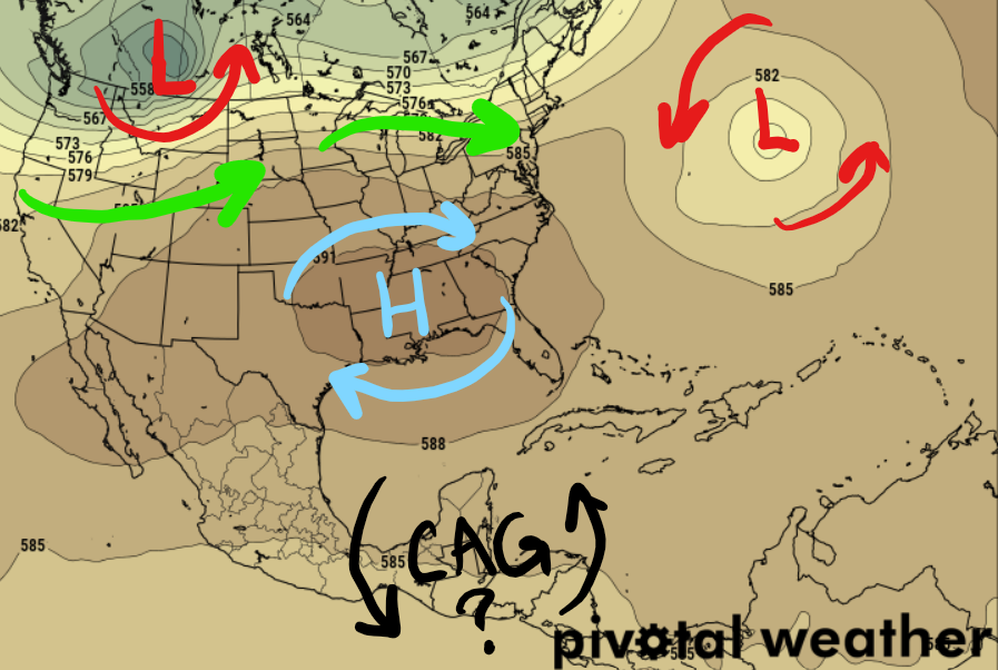
It looks like the ridge of high pressure in the southeast is going to hold on for at least the next few days, and truly it may be settling in for the summer. This is the typical subtropical ridge that ebbs and flows around the southeast all summer long, every summer. It looks like it tip-toed into the area a bit early this year.

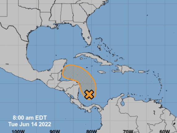
There is also something in the Tropics worth monitoring. The good news is with the big ridge in place, it is more difficult for tropical systems to come this direction. But the NHC is still monitoring the ara highlighted below with a 40-percent chance of development.

Something to keep tabs on for us at the site (as well as our awesome interns) but not much to worry about so far for you at home.
Zone Specific Forecast
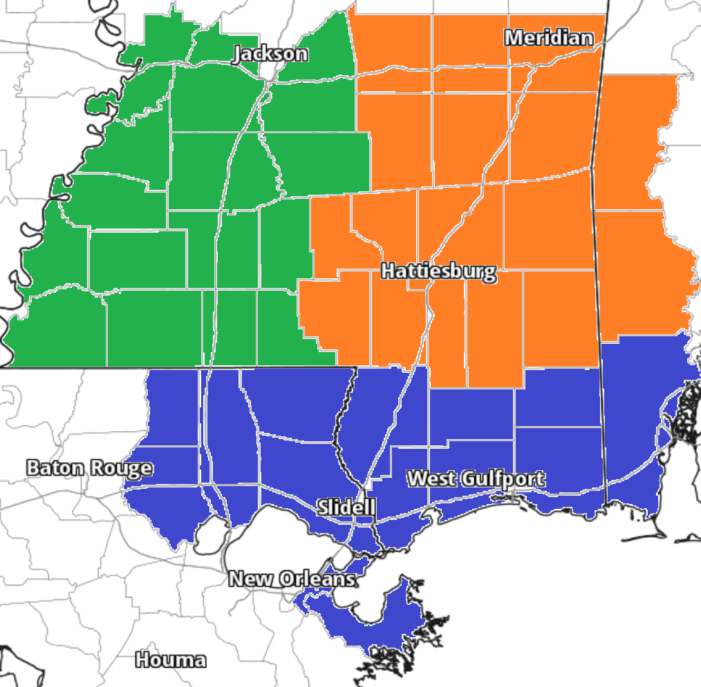
Check out the forecast for your specific area! Our interns were up late last night and early this morning putting together a more localized forecast for you! Click the image that corresponds to your area for a more detailed look at the weather for your area.
Team Green on the left, Team Orange in the middle and Team Blue on the right!
Day to Day Forecast
No general day to day forecast today! But a specific day to day forecast for your area is available from the interns at the links above!


I’d have to see a picture of that before I would EVER believe it … the part where you kick your feet up on the desk and relax (ESPECIALLY the relax part!).
You got me! I haven’t taken a day off since 2005!
I’m not surprised! 2005 isn’t a year I wish to remember.