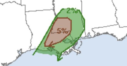
The Storm Prediction Center upped the risk of a tornado for a handful of southern Mississippi counties. Through Thursday night, the Tornado Risk was increased from 2-percent to a 5-percent risk.
A good way to think of it is, that it means the area is five-times more likely to see a tornado today than any other day.
Truly, the overall risk hasn’t increased much. I would bet that the SPC was originally barely below some threshold to add a 5-percent area into the forecast.

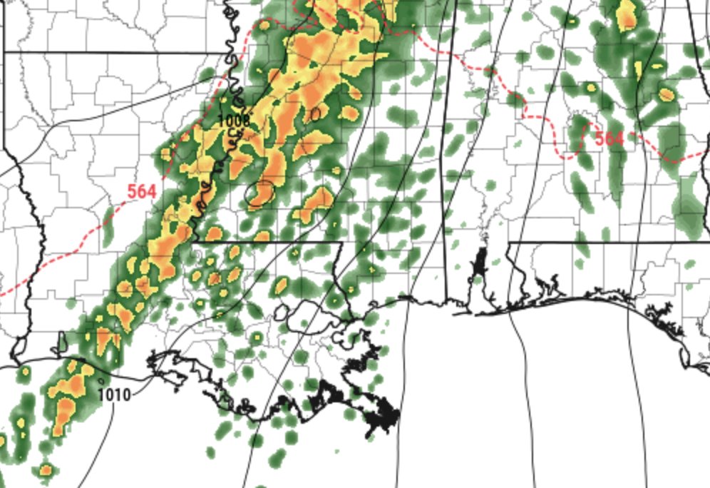
The line itself will continue to slow down and weaken as we head through the next few hours. But before it does, the risk for a tornado or two will be higher than previously suggested by the SPC.
Though the threat levels that we forecast yesterday, still hold:
Here is a quick peek at the severe weather threats for tomorrow. We are most concerned about flooding, but can’t rule out some damaging wind and a tornado or two. pic.twitter.com/35vtkh5dr8
— Nick Lilja (@NickLilja) December 26, 2018
The Good News
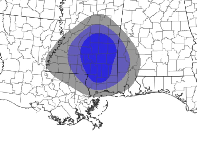
The HREF Ensembles have lowered the probability in our area for strong updraft helicity.

That means the overall threat for strong/severe well-organized thunderstorms is a bit lower than we were thinking 12 hours ago.
The probability isn’t zero.
And the way the decaying line of storms is orienting itself versus the main flow of the atmosphere is overcoming that reduced number, therefore, there remains a threat for severe storms and the possibility for tornadoes.
Timeline
Storms have sped up a bit. It looks like the start of storms in the western counties will be around noon. Places along or near I-59 will be around 2pm. And a bit later to the east.
There are also storms developing ahead of the line. These will need to be monitored closely, too. It isn’t completely clear how much they will develop and how much instability they will have to work with.

