Late tonight and into Monday morning, we’re preparing for another round of rain and storms across the region.
The Storm Prediction Center has placed portions of the area under an Enhanced Risk (Level 3 of 5), with surrounding areas under a Slight Risk (Level 2 of 5). For areas south of I-20, the main threats include damaging wind gusts up to 60 mph, hail possibly up to golf ball size, and a few tornadoes. Localized heavy rainfall is also a concern during the strongest storms.
Forecast models suggest the first storms may begin developing around 3 a.m., primarily north of I-20. These early storms could bring heavy rain, lightning, gusty winds, and small hail. While a tornado can’t be ruled out, that’s not the primary concern with this initial activity.

As we move through the early morning hours, conditions will become more favorable south of I-20 for severe weather. HRRR model guidance shows a well-organized line of showers and thunderstorms sweeping through southern Mississippi and Alabama during the morning. This line, seen in the model imagery below, stretches from Baton Rouge through Hattiesburg and Meridian, extending into central Alabama including Tuscaloosa and Birmingham.


As the line moves through, expect periods of heavy rain and frequent lightning. On top of that, a few storms may pack wind gusts up to 65 mph or hail up to the size of quarters. A very select few storms may have the potential for tornadoes.
Storm and rain chances will linger into early Monday as the cold front continues southeast. The front is expected to exit the region by late Monday afternoon or early evening, bringing an end to the active weather. Behind it, Tuesday should offer a brief break with quieter conditions.
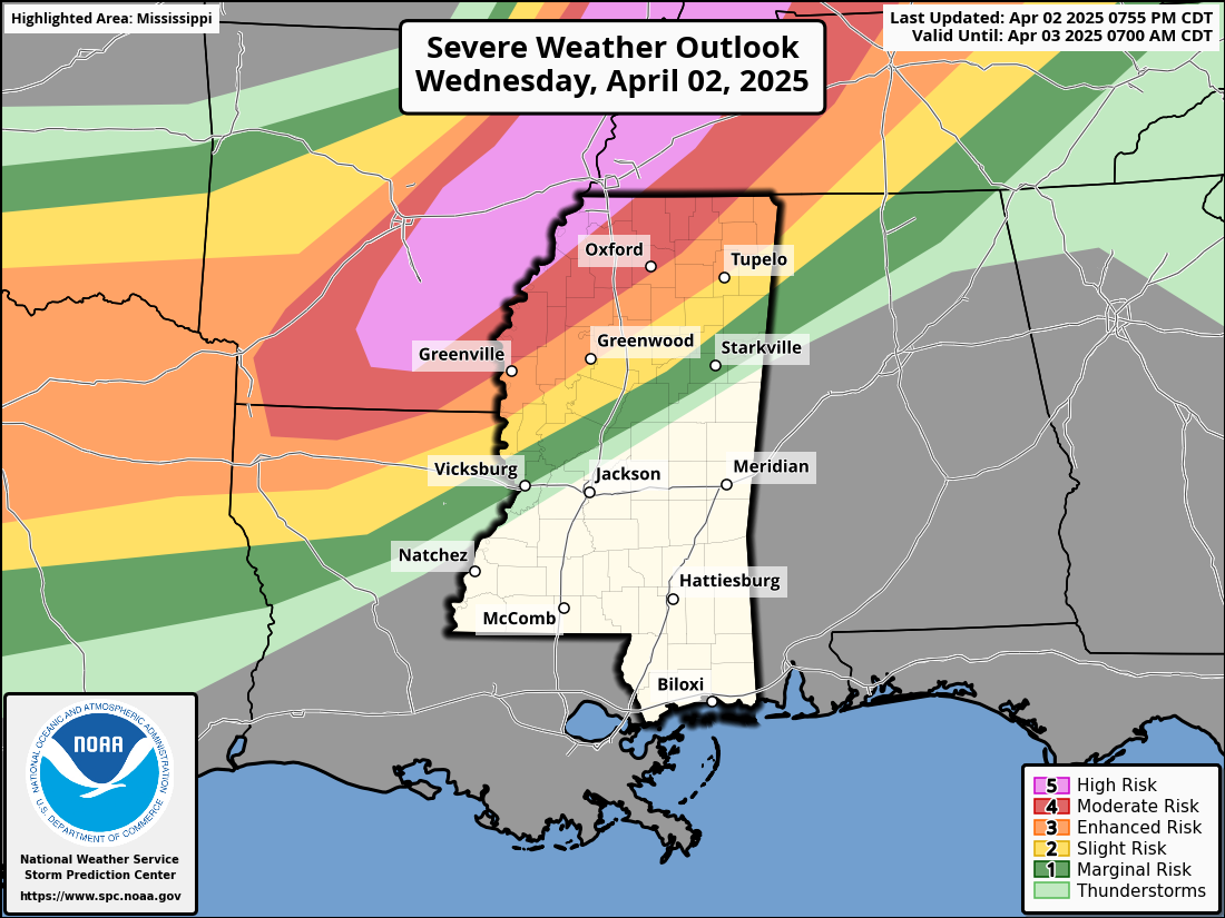
Forecast models are already highlighting another developing system that could bring additional storms to the region by midweek. While the exact timing is still uncertain, the current thinking is that this next front could arrive between Wednesday and Thursday, potentially bringing another round of strong to severe weather. Confidence in the details remains low for now, but we’ll continue to monitor trends closely.
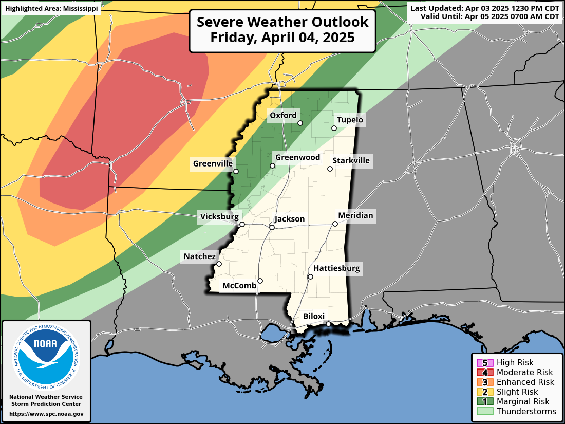
As we head into the weekend, scattered rain and storm chances remain in the forecast for both Friday and Saturday.
REGIONAL DAY TO DAY FORECAST
Tonight: Mostly cloudy. A chance of showers and thunderstorms after midnight. Patchy fog after midnight. Lows in the upper 60s. South winds 5 to 10 mph. Chance of rain 40 percent.
Monday: Becoming mostly sunny in the afternoon. Patchy fog in the morning. A chance of thunderstorms. Showers, mainly in the morning. Locally heavy rainfall possible in the morning. Highs in the lower 80s. Southwest winds 10 to 15 mph. Chance of rain 60 percent.
Monday Night: Mostly clear in the evening, then becoming partly cloudy. Lows in the upper 50s. Northwest winds around 5 mph, becoming north after midnight.
Tuesday: Mostly sunny. Highs in the lower 80s. Northeast winds around 5 mph, becoming south in the afternoon.
Tuesday Night: Mostly cloudy. Not as cool with lows in the upper 60s.
Wednesday: Mostly cloudy in the morning, then becoming mostly sunny. Highs in the mid 80s.
Wednesday Night: Mostly cloudy. Lows around 70.
Thursday: Mostly cloudy in the morning, then becoming partly sunny. Highs in the mid 80s.
Thursday Night: Mostly cloudy. Lows around 70.
Friday: Mostly cloudy in the morning, then partly sunny with a slight chance of showers in the afternoon. Highs in the mid 80s. Chance of rain 20 percent.
Friday Night: Mostly cloudy. Lows in the upper 60s.
Saturday: Mostly cloudy in the morning, then partly sunny with a slight chance of showers and thunderstorms in the afternoon. Highs in the mid 80s. Chance of rain 20 percent.


Thank u nick for keeping us informed
What does website mean