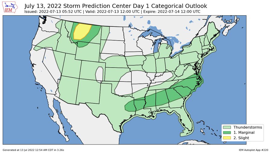
The forecast for today features another round of afternoon, evening and overnight showers and storms. As well as a few morning storms for those along the coast. In fact, the Weather Prediciton Center has outlines southeastern Louisiana, coastal Mississippi, lower Alabama and the Florida panhandle with tha risk for flash flooding this morning as storms along the coast may drop up to 6″ of rain with rainfall rates up to 2″ per hour between 7a and 10a.

This is not that unexpected as we anticipated seeing some heavy rain with a potential developing tropical system lingering off the coast. The threat for flooding rain like this will persist – off and on, here and there – until this thing decides to move out.
On top of that, the boundary to the north that helped spawn this area of storminess off the coast will push a handful of storms through the area – from north to south – this evening, overnight tonight and into tomorrow morning.

These storms have the potential to pose a severe weather risk, however that risk will be mainly for wind gusts up to 60mph. The tornado threat is very, very low.
Tomorrow, it looks like we will play a similar song and dance with more storms and the threat for a few strong storms, too.
If you’re curious about the development of that tropical riff-raff off the coast, it looks like it is really struggling to organize. The NHC now only gives the system “near zero” chance of development.
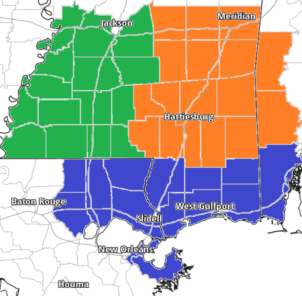
Zone-Specific Forecast
Team Green (southwest Mississippi counties) on the left
Team Orange (southeast Mississippi counties and southwest Alabama counties) in the middle
Team Blue (southeast Louisiana parishes and coastal Mississippi / Alabama) on the right


