More rain out there this morning. As of about 6am, here is what the radar looked like:
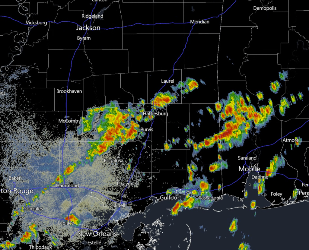
The showers and storms are being sparked by a weak cold front moving through the region. As the day progresses, the storms will move southeastward along with the front. By tonight, the rain and storms should ease off as drier air moves in behind the front.
Expect quieter weather for the next couple of days. I think “MCS Season” is almost over.
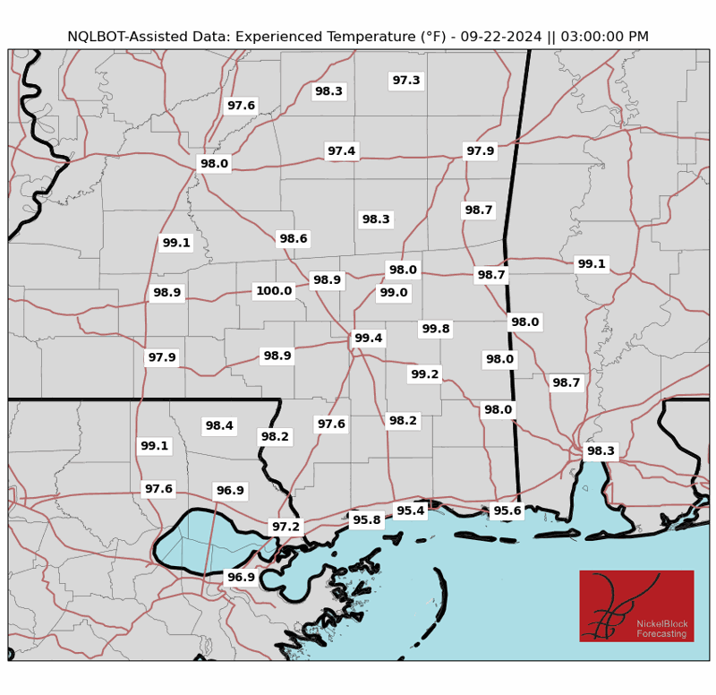
Over the weekend, a strong area of high pressure in the upper atmosphere will move over our region, likely bringing warmer than normal temperatures. Before the next front arrives, temperatures could soar, possibly reaching heat index values between 100-105 degrees Fahrenheit. Depending on how humid it remains, there might be a Heat Advisory issued for parts of the area.

Sunday and into Monday is when the next cold front (in name only, there is no cold air behind it) arrives. It will likely trigger some storms as it moves southward. Right now, I’m not too concerned about the threat for severe weather, but we will have to monitor trends and we’;l update everyone when/if things change.
As we move out of MCS season and into full blown Summer, we will start to see our daily afternoon showers and storms develop.
REGIONAL DAY TO DAY FORECAST
Today: Partly sunny with a chance of showers and thunderstorms. Highs in the upper 80s. Southwest winds 5 to 10 mph. Chance of rain 50 percent.
Tonight: Mostly clear. Lows around 70. Northwest winds around 5 mph in the evening, becoming light and variable.
Friday: Sunny. Highs in the mid 90s. North winds 5 to 10 mph.
Friday Night: Clear. Lows in the mid 60s. North winds around 5 mph in the evening, becoming light and variable.
Saturday: Sunny. Highs in the lower 90s. Northeast winds around 5 mph, becoming southwest around 5 mph in the afternoon.
Saturday Night: Clear. Lows in the upper 60s.
Sunday: Sunny. Highs in the mid 90s.
Sunday Night: Mostly clear in the evening, then becoming partly cloudy. Lows in the lower 70s.
Monday: Mostly sunny. A slight chance of showers and thunderstorms in the morning, then a chance of showers and thunderstorms in the afternoon. Highs around 90. Chance of rain 40 percent.
Monday Night: Partly cloudy with a slight chance of showers and thunderstorms. Lows in the upper 60s. Chance of rain 20 percent.
Tuesday: Mostly sunny. A slight chance of showers and thunderstorms in the morning, then a chance of showers and thunderstorms in the afternoon. Highs in the upper 80s. Chance of rain 40 percent.
Tuesday Night: Partly cloudy with a chance of showers with a slight chance of thunderstorms in the evening, then mostly clear with a slight chance of showers after midnight. Lows in the upper 60s. Chance of rain 40 percent.
Wednesday: Mostly sunny. A slight chance of showers and thunderstorms in the morning, then a chance of showers and thunderstorms in the afternoon. Highs around 90. Chance of rain 40 percent.


