I hope everyone had a great holiday weekend! Hurricane Beryl made landfall last night along the Texas coastline and has now weakened to a tropical depression. A few showers and thunderstorms are possible tonight, but impacts will be minimal. Slightly below-average temperatures and lower dew points are likely for the rest of the work week before the warmth returns this weekend.
Beryl Moving Northward
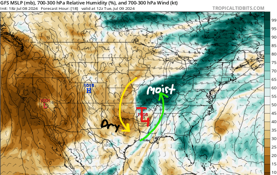
Tropical Depression Beryl continues to push northward this evening towards Arkansas. Power outages, high storm surge, flooding, numerous tornadoes, and wind damage are some of the problems Beryl has caused in Texas and Louisiana today. Most of the rain with this system is concentrated near and north of the center, with additional bands of storms trailing to the southeast.
While the main rain should stay near the storm’s path and to the west of our area, some trailing bands could move into our region tonight. Some quick heavy downpours are possible, especially for western Mississippi and southern Louisiana, but widespread flooding isn’t expected. Isolated damaging wind gusts can’t be ruled out, mainly for areas west of I-55. This is where we have a marginal risk (Level “1” out of 5) for severe weather tonight, but this threat will quickly diminish as we head towards Tuesday.
Slightly Cooler Behind Beryl
For Tuesday, dry air wrapping around Beryl will gradually reduce rain chances from west to east through the day. Some areas such as the ArkLaMiss Delta and northern Mississippi near the storm’s center, may see lingering clouds and light rain into the afternoon. Cities further east including Meridian, MS and Gulfport, MS could experience heat indices around 105°F, due to less cloud cover and greater southerly flow.
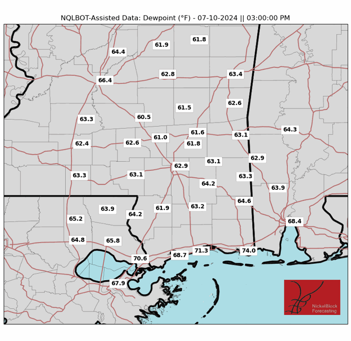
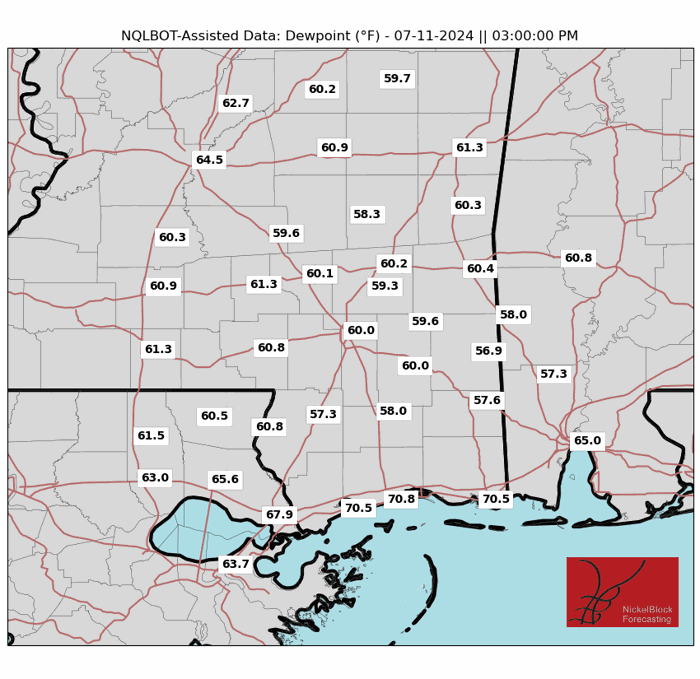
Wednesday through Friday looks promising as drier air moving in behind Beryl will bring a quick break from high humidity and heat stress. Temperatures will be closer to average or slightly below, with morning lows possibly dropping into the 60s for much of the area. High temperatures will range from the upper 80s to low 90s, but lower humidity values should make this more comfortable compared to the past few weeks. Rain chances will be low, although isolated afternoon showers can’t be ruled out, especially toward the end of the week as moisture gradually returns.
The Heat Returns Once Again
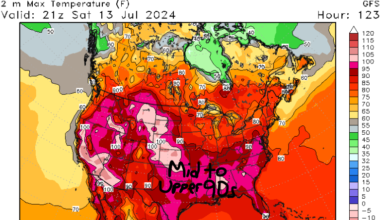
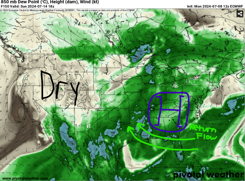
By the weekend, mid to upper-level ridging over the Southeastern US will lead to warmer conditions, with highs reaching the upper 90s in some places. Increasing moisture levels could bring back heat indices in the triple digits, raising concerns for heat stress. There could also be isolated to scattered afternoon showers and storms, especially in southern Mississippi and Louisiana. I’ll touch more on this tomorrow!
Tropics Quiet Down After Beryl
The good news is that we have no new areas to talk about in the tropics. But remember, it’s only early July and we still have a lot of the hurricane season left, so continue to educate yourself and those around you about tropical meteorology!


