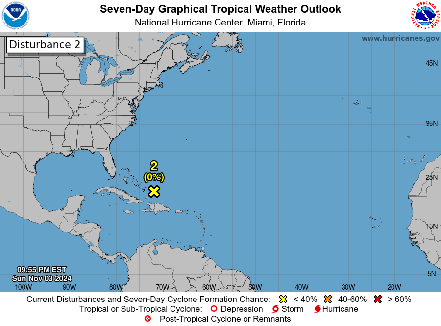
Even though it’s only June, we currently have 3 areas of disturbances in the Atlantic basin. The first disturbance area is located in the western part of the Gulf of Mexico and has a 30% chance of development in the next several days. The second disturbance area is about 1,500 miles east of the Windward Islands and has a 100% chance of development in the next several days. The third area of disturbance is located west of Cape Verde and has a 10% chance of development. As of right now, I am only concerned about the second system, as it will most likely develop into a tropical system in the next few days.
Disturbance 1 ( Invest 94L)

Our first area of disturbance (Invest 94L) is currently located in the western Caribean Sea. Currently, the system is just an area of disorganized showers and thunderstorms. Development of this system is unlikely over the next several days as it moves northwest. The system is expected to cross the Yucatan Peninsula and move out into the Eastern Pacific by early next week. If this system does move into the Pacific, there is a higher chance of development; regardless of whether this system develops or not, heavy rainfall associated with this system is expected over the Yucatan Peninsula over the next 72 hours. Please take this into note if you are vacationing in the Yucatan, as heavy rain and high wind are expected.
Disterbence 2 ( Invest 95L)
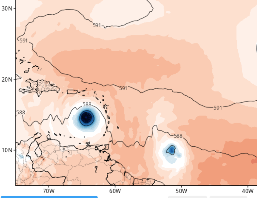
Looking further east, we have a potent system that’s likely to develop in the next couple of days. This area of low pressure is currently located about 1,500 miles east of the Windward Islands of the Caribbean. Over the last few days, this system has taken advantage of the warm water and low windshear values. This has allowed for rapid formation; thus, I would not be surprised if we have our second named system (Tropical Storm Beryl) of the season by this weekend. Currently, the system is moving west/northwest at 15-20 mph and is expected to move across the Windward Islands by the end of this weekend. Those who are on these islands should stay up to date on the latest tropical information.
Disturbance 3
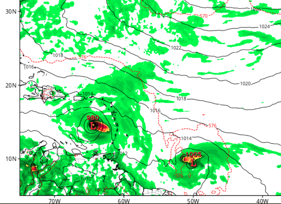
Looking even further east, we have another area of disturbance that has just formed off the coast of Cape Verda, Africa. This system is just an area of disorganized showers and thunderstorms as it moves west behind Invest 95L. There is a slight chance (20%) that this system will develop in the next 7 days; however, development is unlucky due to invest 95L to the west. Although development is unlucky, staying updated on the latest tropical news is always very important, especially as we continue into the month of July.
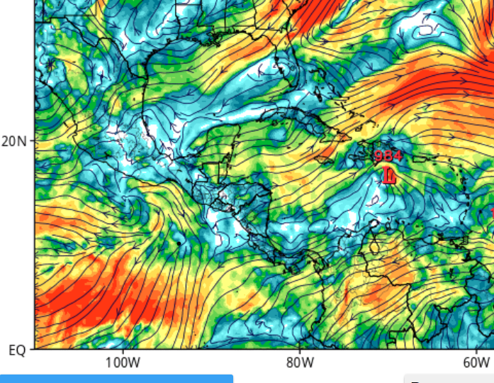
What will happen in the near future
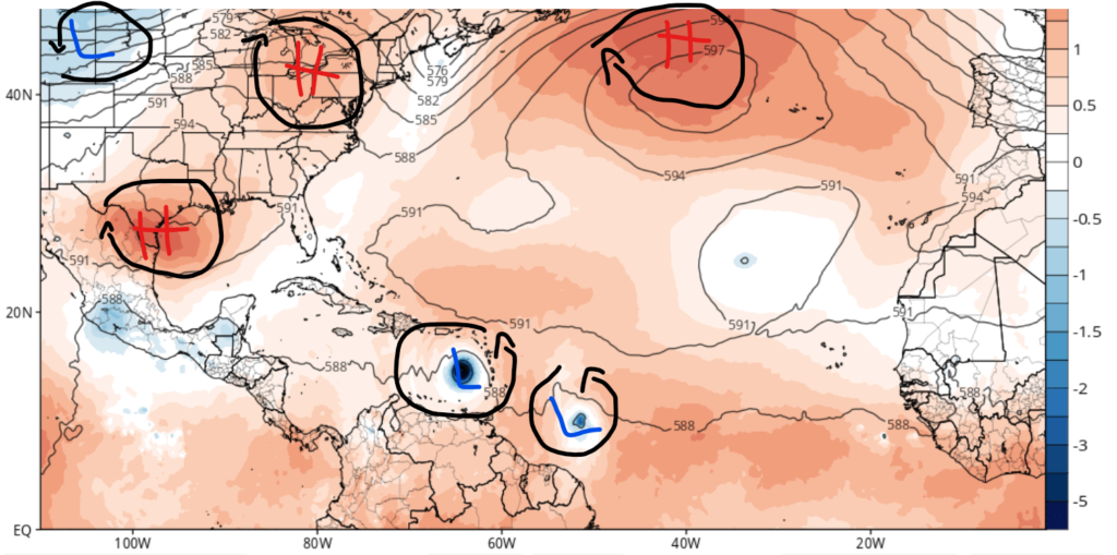
Since we have a tropical system that will likely develop in the next day or two, you may ask where or if it will impact North America. As of this writing, it is too early to say what impacts this system will have on North America. Currently, those in the Windward islands of the Caribbean should expect at least tropical storm-force impacts. Looking at the map above, one can see an area of high pressure in the Gulf Coast region and the Northeast. I have studied multiple models, and as of June 28th, I see that the areas of high-pressure systems should keep this storm south of North America. In terms of the storm structure, high windshear values are expected to be in the region where the system is moving through the Caribbean, which will hinder the storm’s structure.