For much of the tropical basins in the Atlantic and Pacific Oceans, conditions remain fairly quiet during the near-term forecast period, as has been the story for tropical activity in June this year. However, all is not completely silent, as we have a couple potential areas of interest in the Eastern Pacific off the coast of Mexico. Beyond the next few days, the opportunity for tropical activity may begin to increase gradually as we progress over the next 7 to 14 days. Let’s take a further look down below!
Current Tropical Conditions
As mentioned, for the most part, things are relatively calm currently in both the Atlantic and Pacific basins. Strong wind shear still dominates over the tropics, which is contributing to our relative lack of organized tropical disturbances and cyclones at this point. This can be attributed to a strengthening subtropical jet in response to increasing El Nino conditions in the eastern Pacific. In addition to this, across the Atlantic Ocean, very dry air continues to stream off of Saharan Africa and overspread the basin. This contributing to the overall unfavorable setup for tropical development in this region. Out in the Pacific basin, things are mildly more interesting. Of note, one area of interest off the coast of Mexico will have to be monitored for further development in the near-term. We will take a look into these areas further below.


Looking Forward into Mid to Late June
Starting in the eastern Pacific, as mentioned previously, there is a slight disturbance off the coast of Mexico that potentially may develop over the next few days. These clusters of storms, while tapping into the very warm SSTs present with the strengthening El Nino will encounter strong, destructive wind shear as they move off to the north-northwest through the next 7 days. This leaves the best chance at organized development within the next few days before encountering more unfavorable conditions be next week. In a similar area just to the east of this current area of interest, we are watching possibly more tropical organization, mostly in the long-term. At this current moment, the chances of development remain very low, but as has been shown before during hurricane season, anything can happen, and any seemingly minor disturbance can get its act together in a hurry.

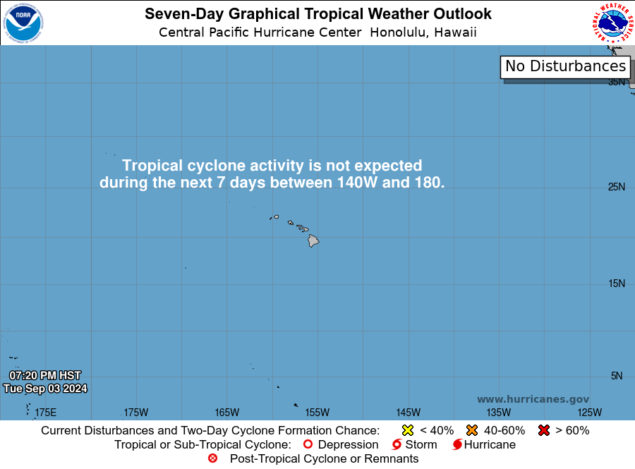
Out in the central Pacific, we are currently not anticipating much in the way of tropical activity over the next two weeks. Strong westerly winds aloft will help to keep things calm (outside of showers and thunderstorms from the Intertropical Convergence Zone) in this region for the foreseeable future.

Moving into the Atlantic Ocean, things get a little more interesting in the long-term. Closer towards Mexico and Belize concerning the potential for any tropical development over the next week, there is still a wide array of model discrepancies between the GFS and Euro as to if anything organized will form or not. This leaves forecasting this area in the long-term pretty tricky, and as such, confidence remains low for tropical storms at this time. Further out east towards the central Atlantic, this is where we will look for tropical development the most over the next 7 to 14 days at this time. Good agreement between the GEFS and EPS hint at the opportunity for organized development in the long-term tracking across the central and eastern Atlantic. Conditions at this far out would favor development more with weakening upper-level wind shear, although not completely absent of it, as well as continued warming of the Atlantic basin. This will have to be monitored over the coming days as details come in and things start to become clearer.
Conclusions
While things are relatively peaceful for now, it is still early in the 2023 hurricane season. Short-term outlooks are not highlighting much in the way of activity, but later on down the line, our attention will need to be had for places in the eastern Pacific as well as the Atlantic. While we are getting deep in the grasps on an El Nino year, where tropical activity is usually decreased, it is important remain vigilant and keep close attention to any possible developments or areas of interest this time of the year!

