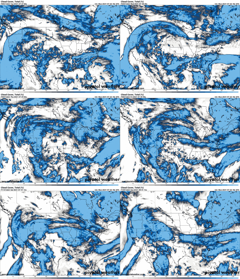
Looking at the latest data regarding the forecast for the tropics during the next few weeks, and things may start to get a bit more active. Not tons active, but more active.
And “more” active than the current level of activity isn’t exactly an endorsement for breakneck speeds.
Invest 90L
I believe, with no evidence to support this claim, that this is only an invest because of its proximity to land and the NHC’s boredom.

Most model guidance curls this thing around the Georgia and South Carolina coast and then kicks it out to sea.

So, there isn’t much a concern, at this point, that Invest 90L will be much more than a promoter of pop-up storms in Florida, Georgia, and the Carolinas. And a potential Fish Storm.
The Next 10 Days
Things look pretty quiet along the Gulf Coast. There are a few features that are causing this relaxed stroll into August. Firstly, and the one you can probably notice the easiest is the Saharan Dust in the air. The same thing giving the region those great sunsets is also responsible for quelling any potential threat for tropical activity.

On top of that, there is also a mid-level low (actually two of them!) moving across the Gulf during the next few days that will help to keep the Gulf as an area not conducive for the development of tropical weather.
The third reason is there is going to be another midsummer front hat tries to swing down toward the Gulf late this week, that should keep enough shear around to keep anything from developing.
That said! midsummer fronts, clusters of storms, and any other organized pocked of thunderstorm activity is never a welcomed sight near the Gulf of Mexico during the summer. Often times, these little areas are the ones we need to watch the closest as they traverse the region because little bits and pieces can break off. And if those areas are allowed time to sit over the warm water of the Gulf with no interaction with anything else for too long, they can eventually spin up into something.
Will that happen this time?
We don’t know yet.
Beyond Day 10
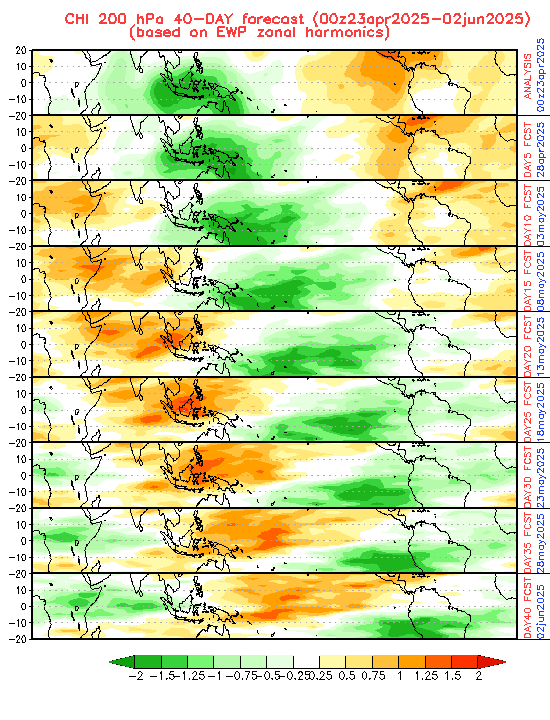
This is when things get a bit “more interestinger” as I used to say on TV. This is when the MJO becomes a bit more favorable for tropical development in the Atlantic.

You can see that the green area (less suppression) will glide over the Atlantic, starting around August 10th and it lasts until about September 4th.
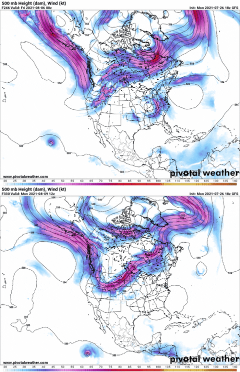
It is also when, according to the model data, the wind shear in the Caribbean will subside.

This doesn’t mean that something will definitely develop. Instead, it means if anything does want to develop it won’t have as large of a hill to climb to do so.
The Bottom Line
Rest easy for now. Double-check that Hurricane Preparedness Kit while things are not very active. Make sure you have a plan and know what to do if a hurricane was coming. Better to prepare now than be caught without a plan later!

