It will be another hot one for a lot of us, but some folks may get lucky enough to catch some cooling rain later today. Expect high temperatures around 90 degrees today, with lows dropping to the mid to upper 60s tonight.


This afternoon and evening, a weather system will move across the area, causing isolated to scattered thunderstorms. These storms could be strong and possibly severe, especially in areas west of I-55. There’s a marginal risk for severe storms for these areas – that is a “1” on the 1-to-5 scale where “5” is the highest risk for the most significant severe weather.
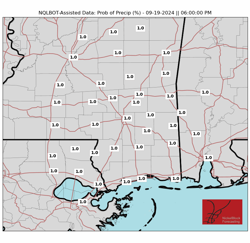
High-resolution weather models have not handled things very well lately, so I have very little faith in their abilities to predict the placement and timing of storms today. That said, our NQLBOT-assisted model data has been doing reasonable (though, still not well) and is shows some scattered storms could continue into tonight as another system moves through.
The next shot for rain will arrive on Friday and into Saturday. But even that doesn’t look like a slam dunk. WE should have a little system try to sneak through the region which should fire up some storms, but where those storms will plow through is still ‘up in the air’ no pun intended.
One last note: If you missed my 2024 Hurricane Season Outlook, it is up on the app/blog here. I think we will have an active season but my forecast doesn’t ahve quite as many storms as others. I also tried my best to predict the chance that we see systems in the Gulf. Give it a look if you’re curious.
REGIONAL DAY TO DAY FORECAST
Today: Sunny. Highs in the lower 90s. East winds around 5 mph, becoming southeast around 5 mph this afternoon.
Tonight: Partly cloudy. Lows in the upper 60s. South winds around 5 mph in the evening, becoming light and variable.
Thursday: Mostly sunny. A slight chance of showers and thunderstorms in the afternoon. Highs in the lower 90s. Northeast winds around 5 mph, becoming southeast in the afternoon. Chance of rain 20 percent.
Thursday Night: Partly cloudy in the evening, then becoming mostly cloudy. A slight chance of showers and thunderstorms. Lows in the upper 60s. Southeast winds around 5 mph. Chance of rain 20 percent.
Friday: Partly sunny. A slight chance of showers in the morning, then a chance of showers and thunderstorms in the afternoon. Highs around 90. Southeast winds 5 to 10 mph. Chance of rain 30 percent.
Friday Night: Mostly cloudy with a slight chance of showers and thunderstorms. Lows in the upper 60s. Chance of rain 20 percent.
Saturday: Partly sunny with a chance of showers and thunderstorms. Highs in the upper 80s. Chance of rain 30 percent.
Saturday Night: Mostly cloudy with a chance of thunderstorms. A chance of showers. Lows in the upper 60s. Chance of rain 30 percent.
Sunday: Partly sunny with a chance of showers and thunderstorms. Highs in the mid 80s. Chance of rain 20 percent.
Sunday Night: Mostly cloudy with a slight chance of showers and thunderstorms in the evening, then partly cloudy after midnight. Lows in the upper 60s. Chance of rain 20 percent.
Monday: Mostly sunny. A slight chance of showers and thunderstorms in the morning, then a chance of showers and thunderstorms in the afternoon. Highs in the upper 80s. Chance of rain 10 percent.
Monday Night: Partly cloudy. Lows in the upper 60s.
Tuesday: Mostly sunny. A slight chance of showers and thunderstorms in the afternoon. Highs in the upper 80s. Chance of rain 20 percent.


