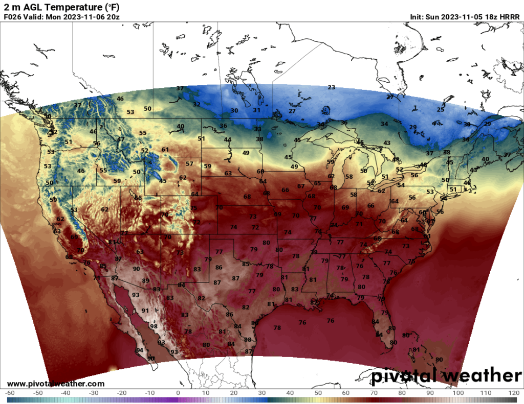
Heading into the week, temperatures across most of the country are much warmer than they were last week with that nasty front. The South and much of the Midwest will experience highs in the 60s to 70s Monday.
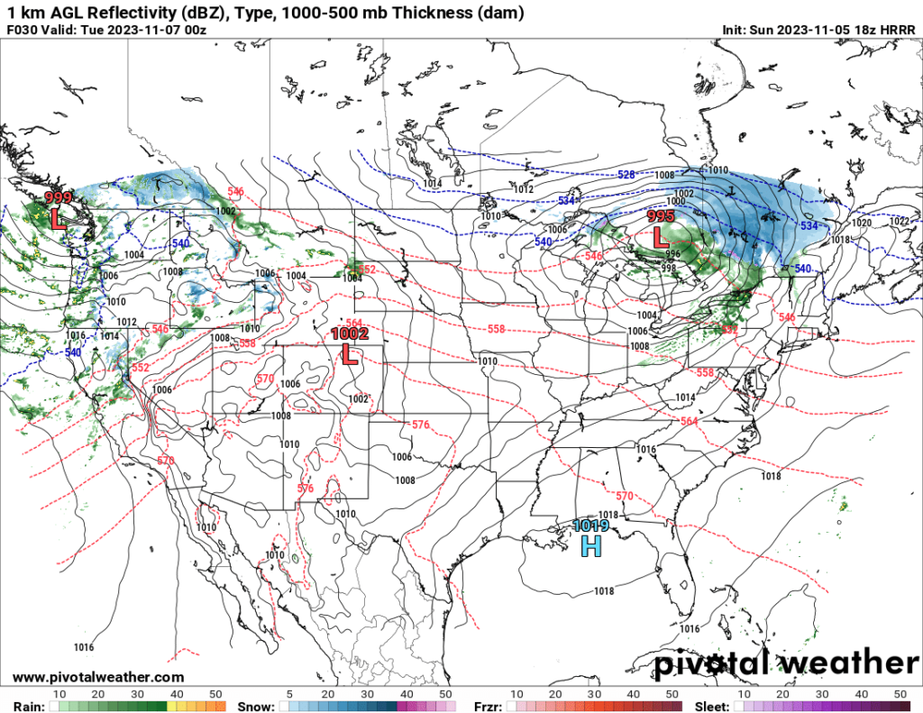
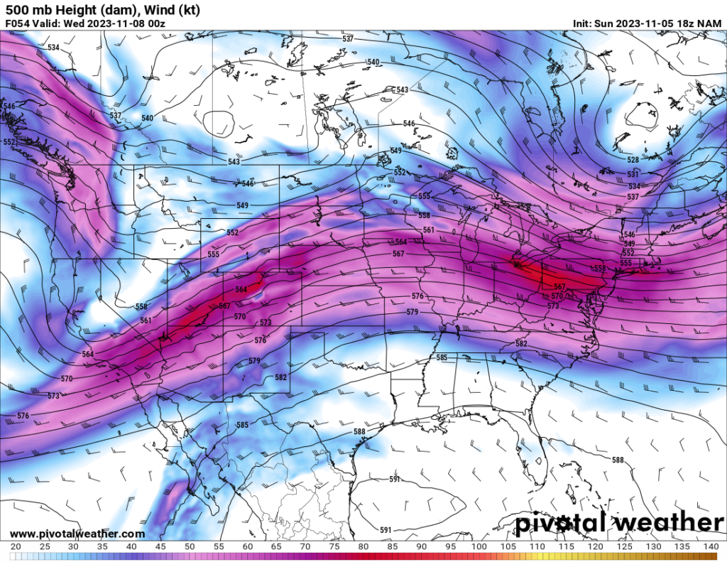
The Northwest will see cooler temperatures and precipitation over the next couple days, owing to an approaching trough that should enter the area Monday and Tuesday. Snowfall will be likely in the higher elevations.
The Northeast may see some rain (and possibly snow in the northernmost regions) Monday and Monday night as a fast-moving and potent trough moves eastward across eastern Canada. The heaviest of the precipitation should stay in Canada, though.
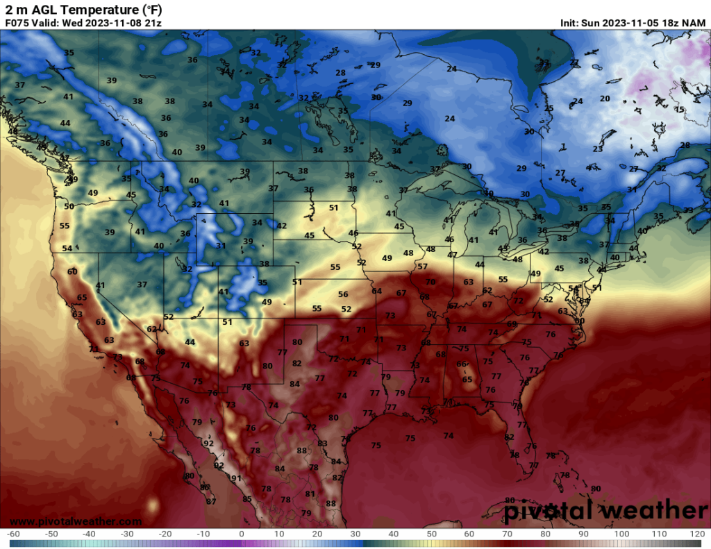
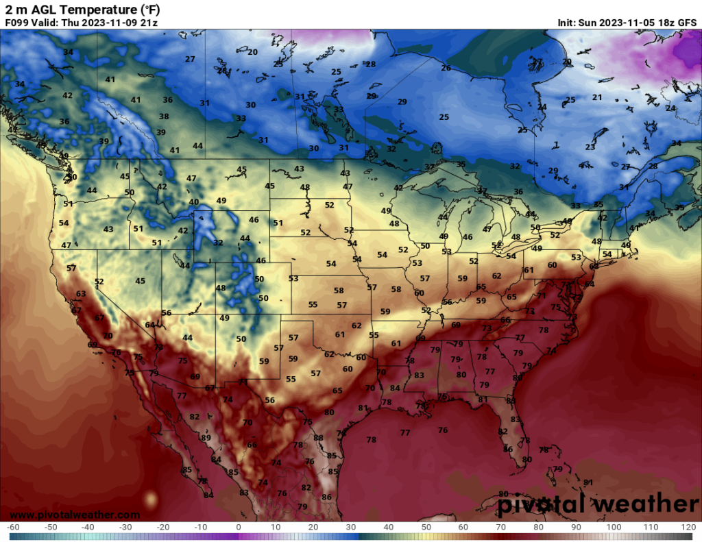
As the week progresses and the trough continues eastward, a cold front will likely advance across the Plains and Midwest Wednesday and Thursday. Some thunderstorms may be possible ahead of the front on Thursday in parts of the South, but severe potential appears limited at this time, according to the SPC. Unlike the front from last week, this front will not have an extremely sharp temperature swing, so even behind the front, highs should still stay in the 50s to low 60s.

