Things are looking fairly stormy currently for areas of South Mississippi and Alabama. The tropical wave we’ve talked about is slowly moving up the Gulf and bringing plenty of moisture with it to give us a few showers and thunderstorms for the next day or so.
From this afternoon into this evening, expect some scattered rain showers, lightning and even some gusty winds as we go throughout the day.
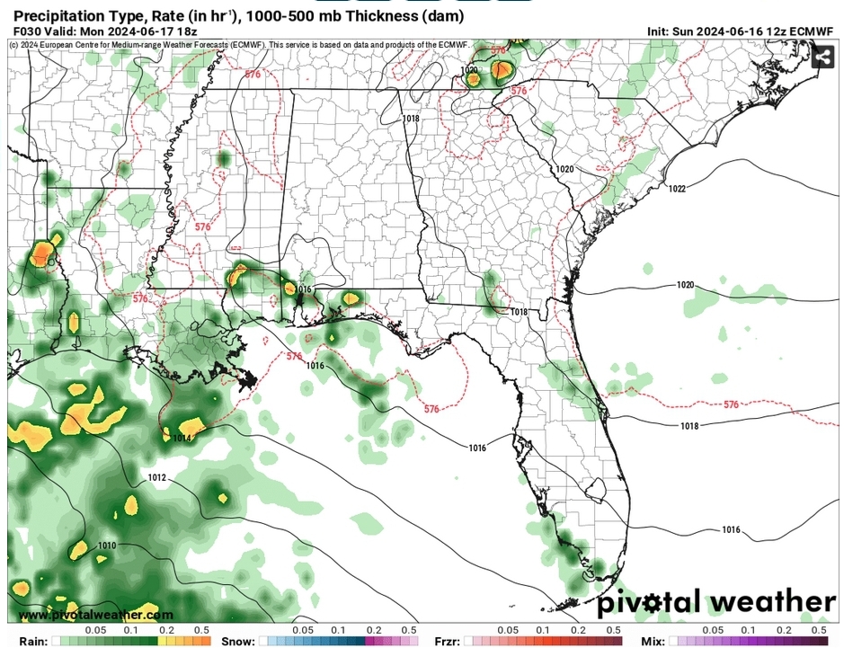
Over the next 36-48 hours, we’ll have rain and thunderstorms develop from the tropical wave. The wave itself will mature as it makes its way to the Gulf, however this will move further west and hinder rain chances by mid-week. Areas of south Louisiana and east Texas will see the rest of the heavy rainfall. This will reduce the high temperatures into the mid to upper 80s for the next few days until the wave moves west.
Come mid-week, another ridge of high pressure from the northeast will take precedence over the southeast leaving us hot and slightly drier. Temperatures will reach the low 90s by Thursday and the mid 90s by the weekend. Some spotty showers may still be possible closer to the weekend.
By the end of the weekend, another low pressure system out of the Yucatan looks to develop and take a similar track to the one we’re dealing with now. This may give us another chance of rain by the end of the weekend and into next week. This may hook to the west and models are still looking to agree on how it will develop and where it will move. We’ll keep you updated as to what this will do.
Select Data Set:

Regional Day-to-Day Forecast
This Afternoon – Showers and thunderstorms likely in the afternoon into the evening. Partly sunny, with a high near 90. Heat index values as high as 97. South southeast wind around 10 mph, with gusts as high as 20 mph. New rainfall amounts between a tenth and quarter of an inch, except higher amounts possible in thunderstorms.
Tonight – A chance of showers and thunderstorms into the night. Mostly cloudy, with a low in the low 70s. South wind around 5 mph becoming calm in the evening.
Monday – Showers and thunderstorms probable. High in the upper 80s. East southeast wind 5 to 10 mph. New rainfall amounts between a quarter and half of an inch possible.
Monday Night
Showers and thunderstorms possible overnight. Low around 72. Southeast wind around 5 mph becoming calm. New precipitation amounts of less than a tenth of an inch, except higher amounts possible in thunderstorms.
Tuesday – A slight chance of showers and thunderstorms into the afternoon. Mostly cloudy, with a high in the mid 80s. East wind 5 to 10 mph, with gusts as high as 20 mph.
Tuesday Night – A chance of thunderstorms before sunset. Mostly cloudy, with a low in the low 70s. East wind around 5 mph. Chance of precipitation is 30%.
Juneteenth – A slight chance of showers and thunderstorms in the afternoon. Partly sunny, with a high in the low 90s. East wind around 10 mph, with gusts as high as 20 mph.
Wednesday Night – Mostly cloudy, with a low in the low 70s. East southeast wind around 5 mph becoming calm.
Thursday – Mostly sunny, with a high in the low to mid 90s. East wind 5 to 10 mph, with gusts as high as 20 mph.
Thursday Night – Mostly clear, with a low in the low 70s.
Friday – A slight chance of showers and thunderstorms. Sunny, with a high in the mid 90s,
Friday Night – Mostly clear, with a low in the low 70s.
Saturday – A slight chance of showers and thunderstorms. Sunny, with a high in the mid 90s.


