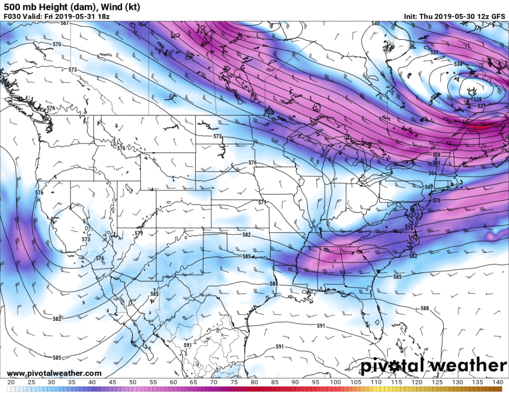
So after 5 months of torrential rain that was almost two-thirds of our yearly average, we have officially ridged over and been given the gift of nothing.
Summer set up very early beating down heat on us and sadly there doesn’t seem to be an end in sight. What’s interesting is there is a stalled trough out west of us that won’t be moving for at least a week, hence why we’ve been ridged over for so long. While I thought we were going to have some rain tomorrow, I have been proven wrong yet again by the models as the shortwave trough has decided to move further north thereby decreasing any chance we had.

Friday we’ll experience the backside of that trough throwing more dry air which means for us that we’ll be drier but hotter during the day. A high of 93 with a possible cloud in the sky and a low of 71. Winds NW at 5 mph.
Saturday continues the trend of drier heat with only a cloud or two in the sky with a high of 93 and a low of 69. Winds NW at 5 mph.
Sunday will have an increase in cloud cover during the day with a few cumulus and maybe even some high level cirrus in the sky. The high will be 92 and a low of 68. Winds NW at 5 mph.
Monday sees the ridge moving west as the trough moves into the northeastern US leaving us high and dry with a northeastern wind. High of 92 and a low of 68.
Tuesday brings in a few cumulus clouds which could cool us off (not really by much) with a high of 90 and a low of 67. Winds NE at 5 mph.
Wednesday will see a few clouds from the lower and upper levels with barely any wind to help with the heat. The high will be 91 and the low will be 67.
Thursday throws a change-up with winds finally pulling from the south giving us a possible chance for a sea breeze thunderstorm in the afternoon. The high will be 92 and the low will be 70 with winds from the south at 5 mph.
Have a good week and stay hydrated!

